Driving the Beartooth Highway: A Clear Route to Yellowstone
The Beartooth Highway is a 68-mile stretch of road that connects Red Lodge, Montana, to Cooke City, just outside the northeast entrance of Yellowstone National Park. It crosses into Wyoming, climbs to nearly 11,000 feet, and then drops back down before reaching the park.
This isn’t a drive you rush. The road is built around elevation, with tight switchbacks, long climbs, and stretches where the landscape opens without much warning.
The most straightforward way to approach it is to start in Red Lodge, give yourself a night to settle in, and then start the next day, stopping where the road whispers your name.
Red Lodge
Red Lodge is the starting point, and it’s worth treating it as more than a pass-through. The town is compact, with a main street that will give you everything you need before the drive: food, fuel, and a chance to reset.
Once you leave town, the road begins to climb almost immediately. This first stretch will introduce you to the rhythm of the highway, with winding sections that make it clear early on that this isn’t a straight-through route.
Climbing Out of the Valley
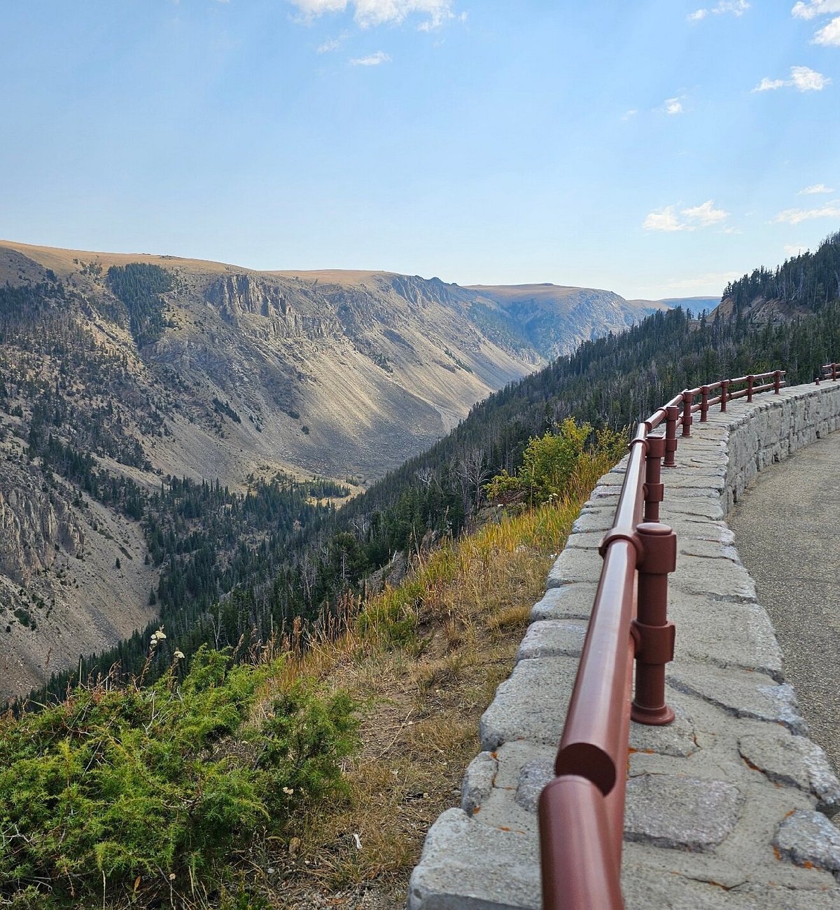
As you move beyond Red Lodge, the road will transition into a series of switchbacks that will carry you up through the forest and into more open terrain. Pull-offs will appear regularly, and it’s worth using them early on, rather than waiting for a single standout stop.
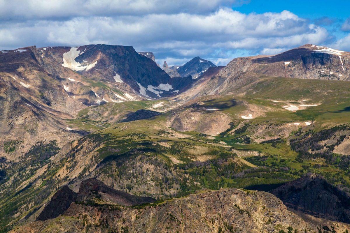
At this stage, the landscape begins to change, as well. The trees start to thin out, the visibility increases, and the scale of the mountains becomes clearer. The road itself becomes part of the experience here, not just the stops in between.
Vista Point
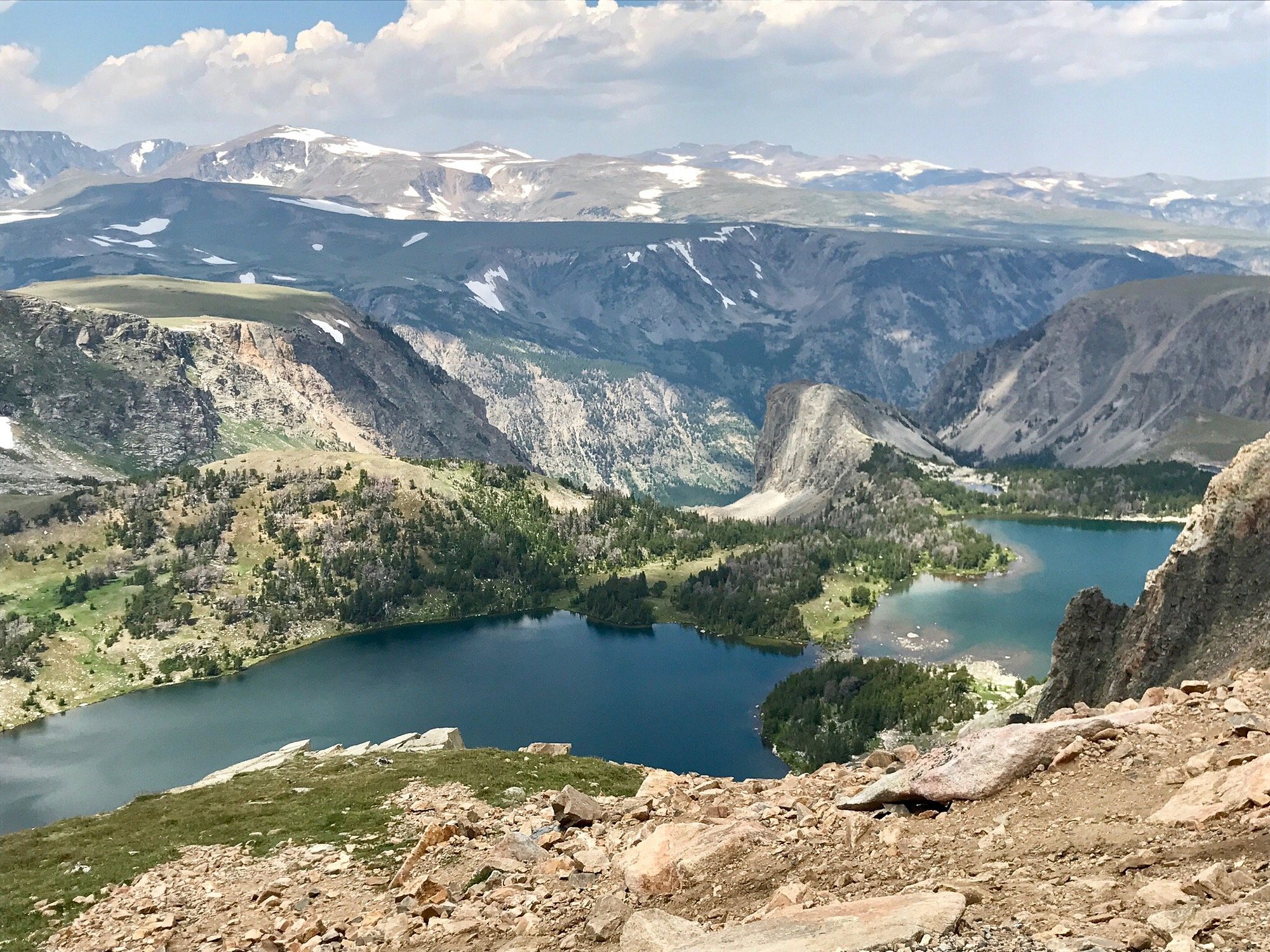
Vista Point will be one of the first clear pull-offs as you climb out of Red Lodge. It’s an easy place to stop, stretch your legs, and walk to a lovely viewpoint over Rock Creek, giving you a better sense of how the elevation has changed.
If you’d like a bit more movement here, there are a few short walks that don’t require too much planning. Twin Lakes is right there, near the Montana/Wyoming border, and can be reached with a short walk from the road.
Further down, Island Lake and Beartooth Lake also have easy access points where you can walk along the shoreline and spend a bit more time out of the car without committing to a full hike.
Beartooth Pass
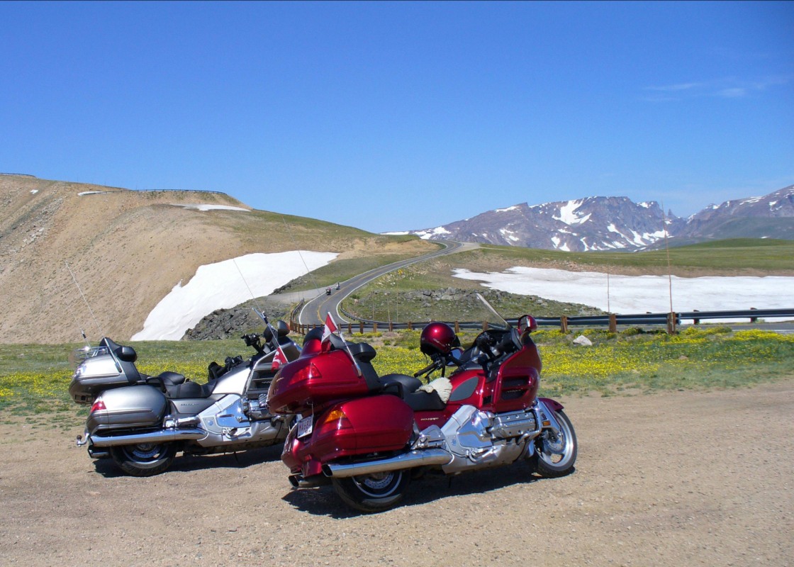
At 10,947 feet, Beartooth Pass is the highest point on the drive. The road levels out slightly here, but conditions can change quickly. Even in the summer, the temperatures drop, and the wind can move through the pass without much warning.
This is one of the clearest stopping points along the route. You should definitely plan to step out, experience the elevation, and see how the scenery has changed from forest to alpine plateau before carrying on.