Driving the Cabot Trail Through Cape Breton’s Gaelic Heart
The Cabot Trail is often described as one of the most scenic drives in North America, but that’s only part of the story. What gives this route its shape is something older. It’s carried in the language, the music, and the way the communities are still connected to the land.
In Cape Breton, Gaelic traditions didn’t fade into the mist. They settled into daily life and stayed there. As you move along the trail, you won’t just be passing viewpoints.
You’ll also be moving through places where those traditions still surface, whether it’s in a song, a conversation, or the way a small town gathers together at the end of the day.
Start in Baddeck and Set the Route
Most drives begin in Baddeck, and it’s a practical place to get your bearings before heading out. The village stretches out along the Bras d’Or Lake, with a small harbor and a steady rhythm that makes it easy to settle in before the road begins to turn.
You can walk along the waterfront, stop into the Alexander Graham Bell National Historic Site, or sit down with a coffee and map out the first stretch of your drive.
From here, heading clockwise will keep the ocean by your side for long stretches and make it easier to pull into the various lookout points without crossing traffic. It’s a small decision, but it’ll shape how your journey begins.
Follow the Coast Toward Ingonish
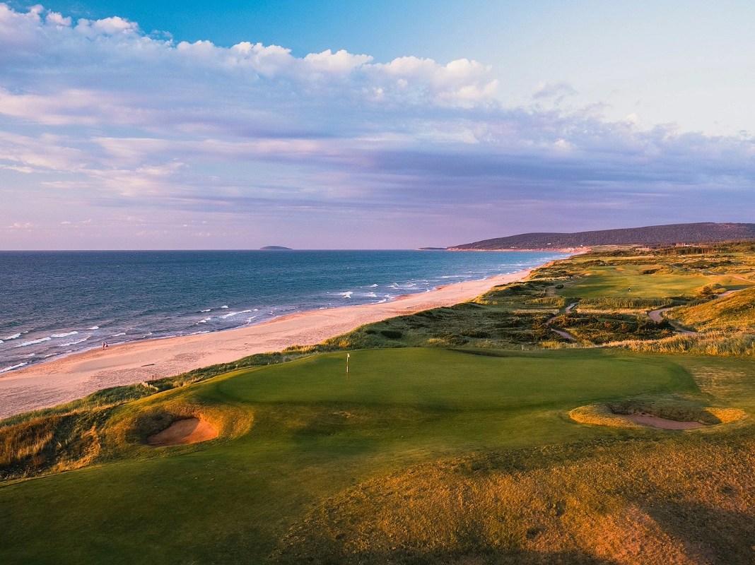
As you leave Baddeck, the road will open gradually as you move toward Ingonish, with the coastline coming into view in beautiful pieces, rather than all at once. This is where it makes sense to make your first stop.
Ingonish Beach will give you that early meeting point between land and sea, and it’s a good place to step out, stretch your legs, and get a sense of how the coastline rises up from here. Along this stretch of the drive, the best moments won’t always be marked.
Small pull-offs will appear along the road where you can stop for a minute or two, take in the water, and move on again without breaking the rhythm of your drive.
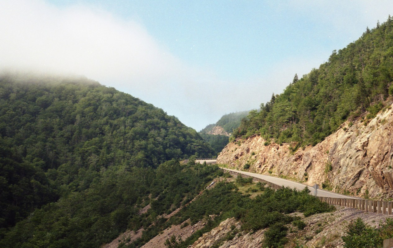
Drive Through Cape Breton Highlands National Park
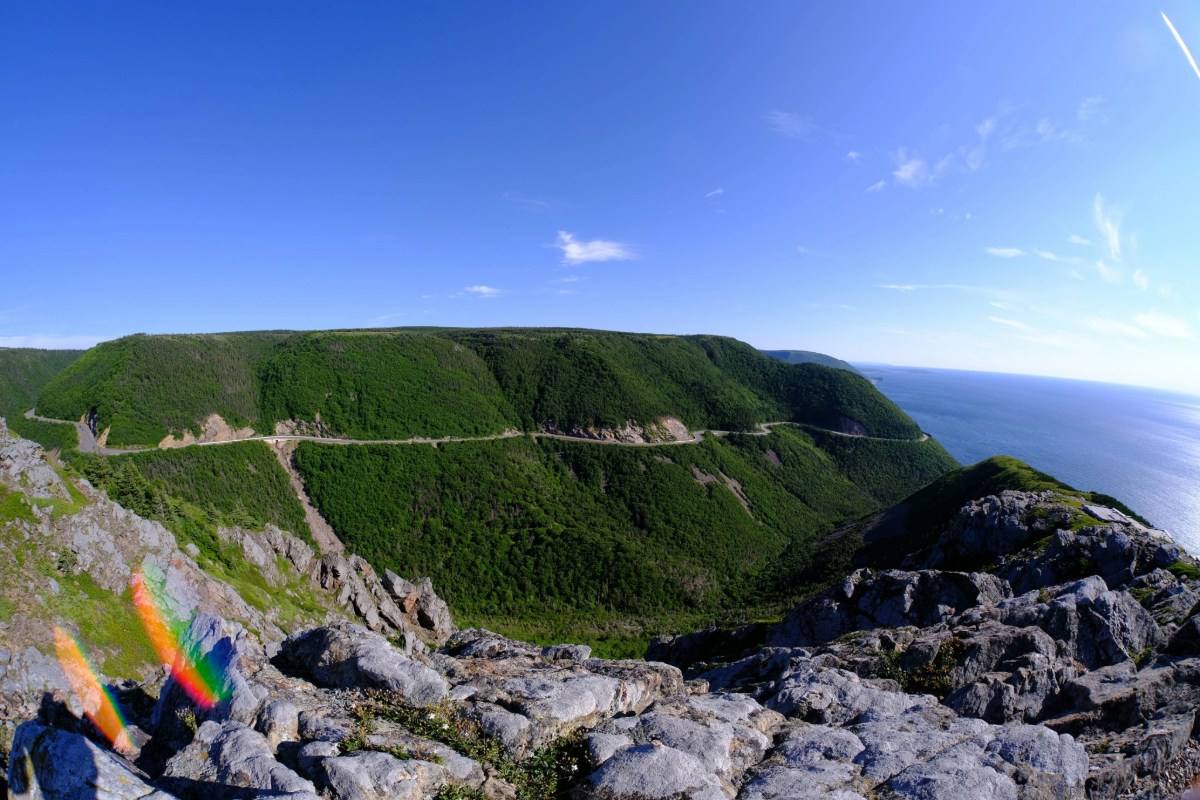
As the road climbs into the Highlands, the landscape will begin to look a little bit more dramatic. Cliffs rise, the ocean pulls further into view, and the distance between communities becomes more noticeable. This part of the island played an important role in how the Gaelic culture held on here.
The terrain made the movement slower, and the communities stayed more self-contained, which allowed the language and traditions to remain a part of daily life for longer than many other places.
The Skyline Trail is the best-known stop here, and it’s well worth the walk. The path will lead you to a boardwalk overlooking the Gulf of St. Lawrence, where the land will drop away in front of you.
There are other lookout points along the drive where you can pull in briefly, enjoy the view, and carry on without turning anything into a long stop.
Stop in Pleasant Bay
Pleasant Bay rests along the western edge of the park and offers a quieter kind of pause. It’s known for whale watching during the warmer months, but, even without heading out on the water, it’ll still give you a sense of how closely life here has always been tied to the sea.
The harbor is small, but the pace remains slow and steady throughout the day. This is the kind of stop where you don’t need to plan much. You can walk simply along the water, take a short break, and carry on without losing momentum.