Driving Ireland’s Wild Atlantic Way: A Route From Donegal to Cork
The Wild Atlantic Way isn’t a single road. It’s a network of coastal routes, which means the experience depends on how you’d like to move through it.
One way to tackle it is to fly into Belfast, pick up a car, and give yourself a night to settle in before starting the drive. Derry works well for that. It’s about an hour from the airport, easy to reach, and gives you a nice place to rest before heading further west.
The next morning, you can cross into County Donegal and begin following the coastline south, moving county by county, keeping the Atlantic on your right until you reach Kinsale.
This approach will help you avoid doubling back (unless you want to, of course) while allowing each stretch of the route to build naturally into the next.
Slieve League Cliffs
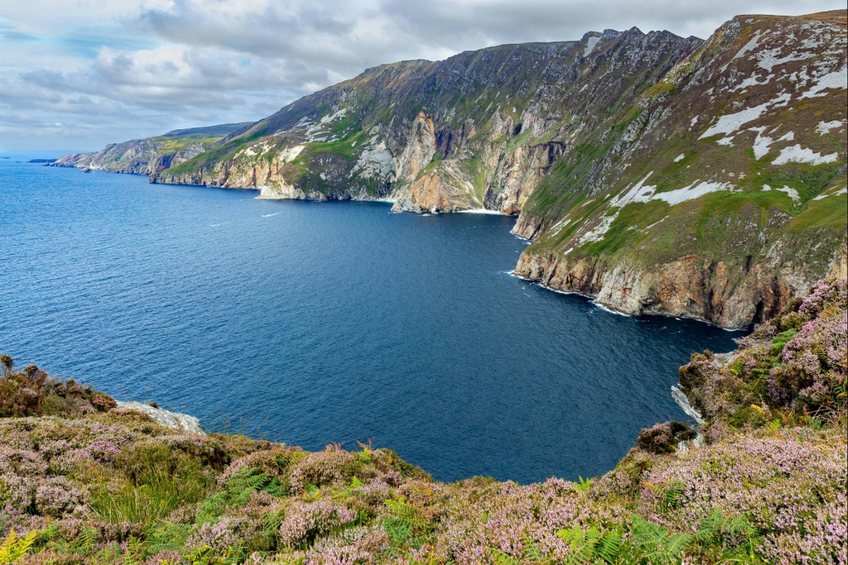
Slieve League is one of the highest sea cliffs in Europe, and it’s easily accessible. You can drive most of the way up, then walk from the upper car park to the main viewpoints.
The cliffs rise directly from the Atlantic, and the paths are open, with sections that allow you to move beyond the main viewing areas if you’re steady on your feet.
If you’d like a little more distance, the Pilgrim’s Path starts further back and will give you a full approach on foot. It’s a defined route, but it definitely requires time and decent conditions.
Even without the full walk, this is a great starting point along the route, giving you immediate access to the scale of the coastline you’re about to trace.
Donegal
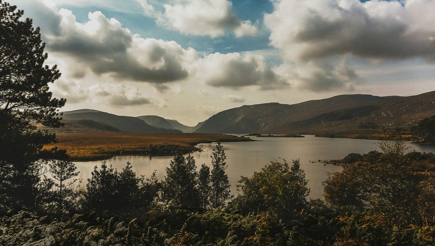
Beyond the cliffs, Donegal opens to a mix of coastal drives and inland routes. Glenveagh National Park is the most direct inland stop, combining the mountains with a network of marked walking paths.
The roads through the park are narrow but manageable, and the lake and castle are lovely places to stop.
If you have time, the Inishowen Peninsula will add another layer to the route. It’s a longer detour, but the roads are quieter, and the coastline is less structured, with smaller stops that don’t require planning ahead. You can’t cover Donegal all at once, but you can choose a few highlights that call your name.
Sligo
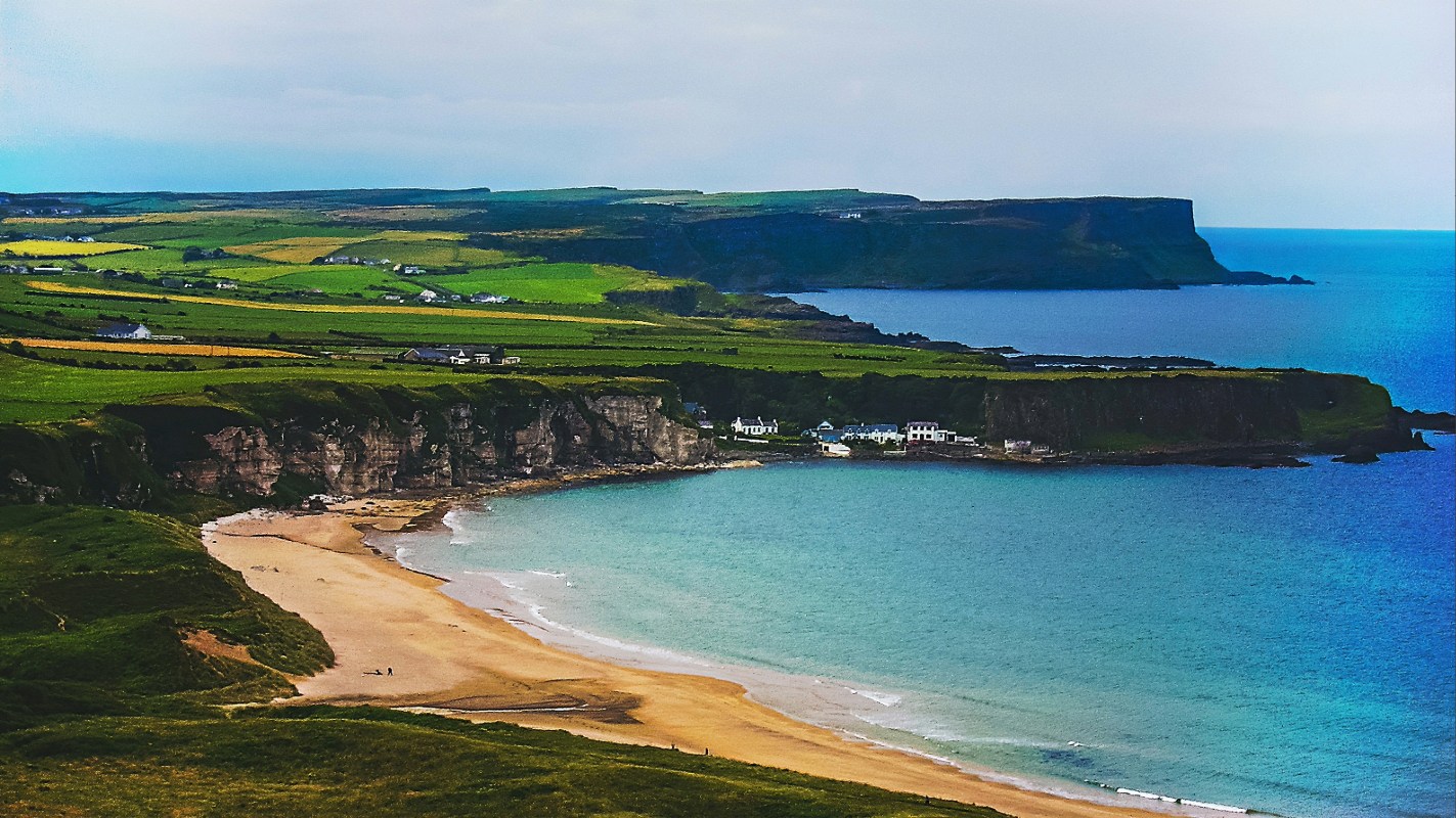
As you move south, the coastline around Sligo becomes easier to navigate, with several direct stops along the main route. Mullaghmore Head is one of the most straightforward, with a looped drive that brings you out toward the water. You’ll also have a clear view of Classiebawn Castle, set back from the shoreline.
Strandhill is the best place to stop for a break. You can walk along the beach, get something to eat, or continue toward Knocknarea if you’d like to add on a climb. The path to the summit is direct, and the cairn at the top is a great place to stop and enjoy the view out across the coastline.
Mayo
Mayo also covers a wide area, so it’s best to focus your time. Achill Island is an easily accessible stop, and is home to one of Grace O’Malley’s tower houses. The bridge makes the approach simple, and the drive out to Keem Bay leads into a sheltered cove with a defined walking area.
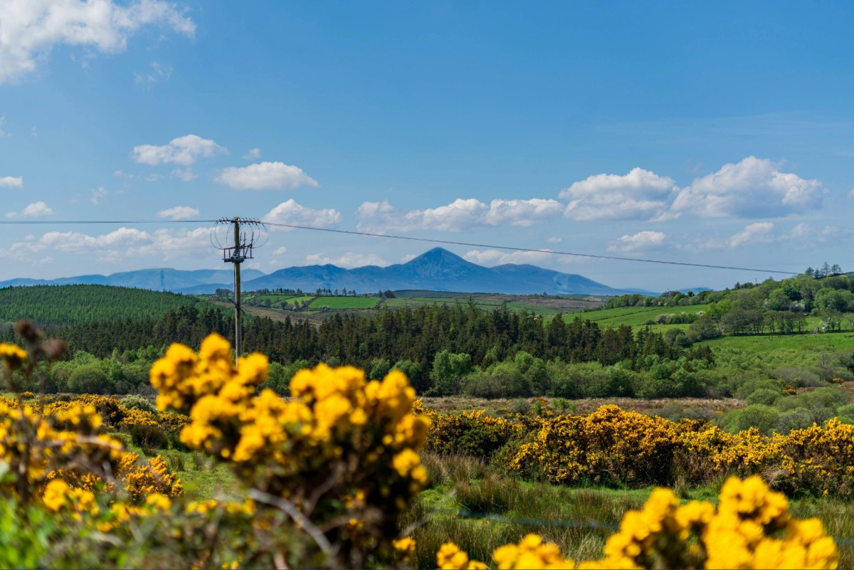
Further south, Croagh Patrick is visible from the main road, and you can either stop to enjoy the scenery here or commit to the full climb.
The colorful town of Westport is a great place to lay your head for the night, as it’s compact, loaded with great shops and restaurants, and will certainly have an accommodation you’ll be happy to return to in the evening.